
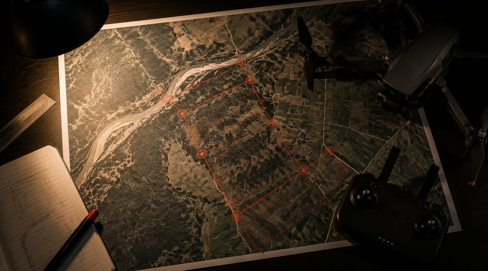
Drone Mission Coverage & Flight Time Planner
Set your site, your coverage requirements, and your aircraft's specs, and get flight distance, flight time, battery count, and total mission time - with the full arithmetic shown.
typical flight endurance per battery for a commercial inspection-grade multirotor drone
Battery endurance, not distance, is usually the binding constraint on a real inspection mission - a typical commercial multirotor covers a fraction of a long pipeline corridor or a large refinery site before it needs to land and swap batteries. Planning battery count and swap time up front is what turns a rough coverage estimate into a mission you can actually schedule a crew around.
Site & coverage
Aircraft & result
- 01Raw distance to fly
20 km corridor × 2 passes (e.g. both sides of the right-of-way) = 40.0 km of flight line.
- 02Adjusted for image overlap
40.0 km × (1 + 30% overlap) = 52.0 km effective flight distance - overlap is what makes downstream photogrammetry and change-detection comparisons reliable, so it is flown distance, not waste.
- 03Flight time at cruise speed
52.0 km ÷ 8 m/s cruise speed = 108.3 min of total flight time.
- 04Batteries and swap overhead
108.3 min ÷ 25-minute endurance per battery = 5 batteries, needing 4 swaps at 6 min each = 24.0 min of ground time.
- 05Total mission time
108.3 min flying + 24.0 min swapping batteries = 132.3 min for this mission, before accounting for setup, weather holds, or site access.
- Planning a drone inspection mission (this tool, explained)
LeakSonic blog - full methodology write-up for this calculator.
- Storage tank and terminal drone inspection
LeakSonic blog - a common area-coverage inspection scenario.
- Meridian GCS - the ground control station we are developing
Waypoint planning, mission scheduling, and companion-computer control in one tool.
- ASPRS - American Society for Photogrammetry and Remote Sensing
Standards body for the overlap and swath-coverage conventions this tool is based on.
Copy this snippet to credit and link back to the tool.
<a href="https://leaksonic.com/tools/mission-coverage-planner" target="_blank" rel="noopener">Calculated with LeakSonic's Drone Mission Coverage & Flight Time Planner ↗</a>
Methodology & limits
For a linear site, distance is corridor length times number of passes. For an area site, distance is site area divided by effective swath width per pass. That raw distance is increased by your stated overlap percentage, converted to flight time at your cruise speed, then divided into battery-length legs (rounded up) with swap time added between them. This tool does not model wind, terrain, regulatory flight ceilings, or airspace restrictions, and is a planning aid, not a certified flight plan.
Frequently asked
What does the Drone Mission Coverage & Flight Time Planner compute?
From your site type (a linear pipeline corridor or an area-based refinery site), coverage requirements, cruise speed, and battery endurance, it computes the total flight distance needed, flight time, number of batteries required, and total mission time including battery-swap overhead - with every step shown in an insight log.
Does it work for both pipeline and refinery/area surveys?
Yes. Toggle between a linear corridor (you set length and number of passes) and an area site (you set hectares and effective swath width per pass) - the underlying distance-to-time arithmetic is the same either way.
Why does the tool ask about image overlap?
Overlap between passes is what makes downstream photogrammetry, comparison, and change detection reliable - it is flown distance, not wasted effort. Higher overlap increases total flight distance and therefore flight time and battery count, and the tool makes that trade-off visible rather than hiding it.
Want this done properly, on your real network or site?
This tool gives you a fast, illustrative estimate. Sentrix gives you a defensible, evidence-backed answer, built on your actual data. Tell us about your network or site and we'll walk you through it.